Title:
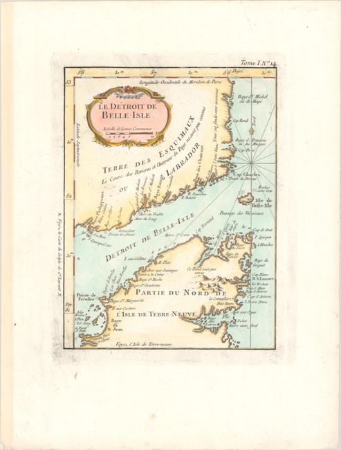
“Le Detroit de Belle-Isle”
Map Maker:
Jacques Nicolas Bellin
This finely engraved chart details the strait betw... (full text available to subscribers)
| Item Detail |
| |
| |
MapMaker: |
Jacques Nicolas Bellin
|
|
| |
| |
Subject: |
Eastern Canada |
|
| |
Period/Size: |
1764 / 8.3" x 6.3" (21.1 x 16.0 cm)
|
|
| |
Color: |
Colored
|
|
| |
Condition: |
(A) On watermarked paper with a few gilt highlights. There is some minor printer's ink residue along the platemark. (condition help) |
|
| |
Source: |
Le Petit Atlas Maritime |
|
| |
References: |
Kershaw #535. |
|
| |
|
|
| Sales Information |
| |
| |
Price: |
|
|
| |
| |
Offered by: |
Old World Auctions |
|
| |
Catalog: |
Auction No. 192 - Antique Maps, Charts, Atlases & Globes (9562) |
|
| |
Lot/Item #: |
112 |
|
| |
| |
Date: |
04/2023
|
|
| |
| |
|
Antique Maps - Valuation and Pricing, Descriptions, Resources |
|
Home |
Information |
Search |
Register |
Contact Us |
Site Map
Americana Exchange, Inc. © 1999 - 2024 Americana Exchange, Inc.. All rights reserved.
OldMaps.com, the OldMaps.com logo and
AMPR are service marks or registered service marks of Americana Exchange, Inc..
|