Title:
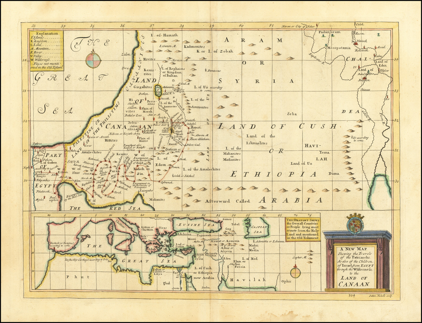
“A New Map Shewing the Travels of the Patriarchs. As also of the Children of Israel, from Egypt whrough the Wilderness, to the Land of Canaan.”
Map Maker:
Edward Wells
Detailed map of the Holy Land, with an inset map o... (full text available to subscribers)
| Item Detail |
| |
| |
MapMaker: |
Edward Wells
|
|
| |
| |
Subject: |
Holy Land |
|
| |
Period/Size: |
1712 / 14.5" x 20.0" (36.9 x 50.8 cm)
|
|
| |
Color: |
Colored
|
|
| |
Condition: |
VG+ (condition help) |
|
| |
Source: |
|
|
| |
References: |
|
|
| |
|
|
| Sales Information |
| |
| |
Price: |
|
|
| |
| |
Offered by: |
Barry L. Ruderman Antique Maps Inc. |
|
| |
Catalog: |
Recently Added - December 2021 (9534) |
|
| |
Lot/Item #: |
77508 |
|
| |
| |
Date: |
12/2021
|
|
| |
| |
|
Antique Maps - Valuation and Pricing, Descriptions, Resources |
|
Home |
Information |
Search |
Register |
Contact Us |
Site Map
Americana Exchange, Inc. © 1999 - 2024 Americana Exchange, Inc.. All rights reserved.
OldMaps.com, the OldMaps.com logo and
AMPR are service marks or registered service marks of Americana Exchange, Inc..
|