Title:
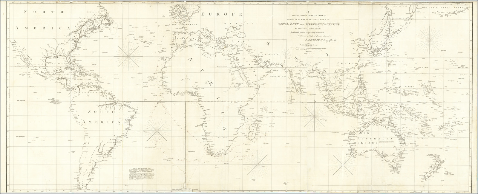
“A New and Correct Outline Chart: Intended for the Use of the Officers in the Royal Navy and Merchant's Service To Prick Off A Ship's Track . . . 1833. Additions to 1834 & 6 & 7”
Map Maker:
John William Norie
Rare Survival -- Navigational Aid at Sea with Pric... (full text available to subscribers)
| Item Detail |
| |
| |
MapMaker: |
John William Norie
|
|
| |
| |
Subject: |
World |
|
| |
Period/Size: |
1833 (1837) / 26.5" x 63.5" (67.4 x 161.3 cm)
|
|
| |
Color: |
Unknown
|
|
| |
Condition: |
Good (condition help) |
|
| |
Source: |
|
|
| |
References: |
|
|
| |
|
|
| Sales Information |
| |
| |
Price: |
|
|
| |
| |
Offered by: |
Barry L. Ruderman Antique Maps Inc. |
|
| |
Catalog: |
Recently Added - December 2021 (9534) |
|
| |
Lot/Item #: |
80209 |
|
| |
| |
Date: |
12/2021
|
|
| |
| |
|
Antique Maps - Valuation and Pricing, Descriptions, Resources |
|
Home |
Information |
Search |
Register |
Contact Us |
Site Map
Americana Exchange, Inc. © 1999 - 2024 Americana Exchange, Inc.. All rights reserved.
OldMaps.com, the OldMaps.com logo and
AMPR are service marks or registered service marks of Americana Exchange, Inc..
|