| Item Detail |
| |
| |
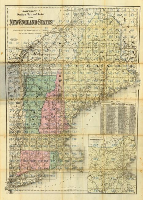
MapMaker: |
Thomas R. Johnson [& Co.]
|
|
| |
| |
Subject: |
New England |
|
| |
Period/Size: |
1894 / 26.0" x 36.0" (66.1 x 91.5 cm)
|
|
| |
Color: |
Colored
|
|
| |
Condition: |
(C) The map is fragile and nearly split down one fold. The covers are intact and lightly rubbed, but with some staining. The map should be professionally backed to support the fragile fold lines. (condition help) |
|
| |
Source: |
|
|
| |
References: |
|
|
| |
|
|
| Sales Information |
| |
| |
Price: |
|
|
| |
| |
Offered by: |
Old World Auctions |
|
| |
Catalog: |
Auction No. 117 - Antique Maps, Charts, Atlases & Globes (579) |
|
| |
Lot/Item #: |
156 |
|
| |
| |
Date: |
12/2006
|
|
| |
| |
|