| Item Detail |
| |
| |
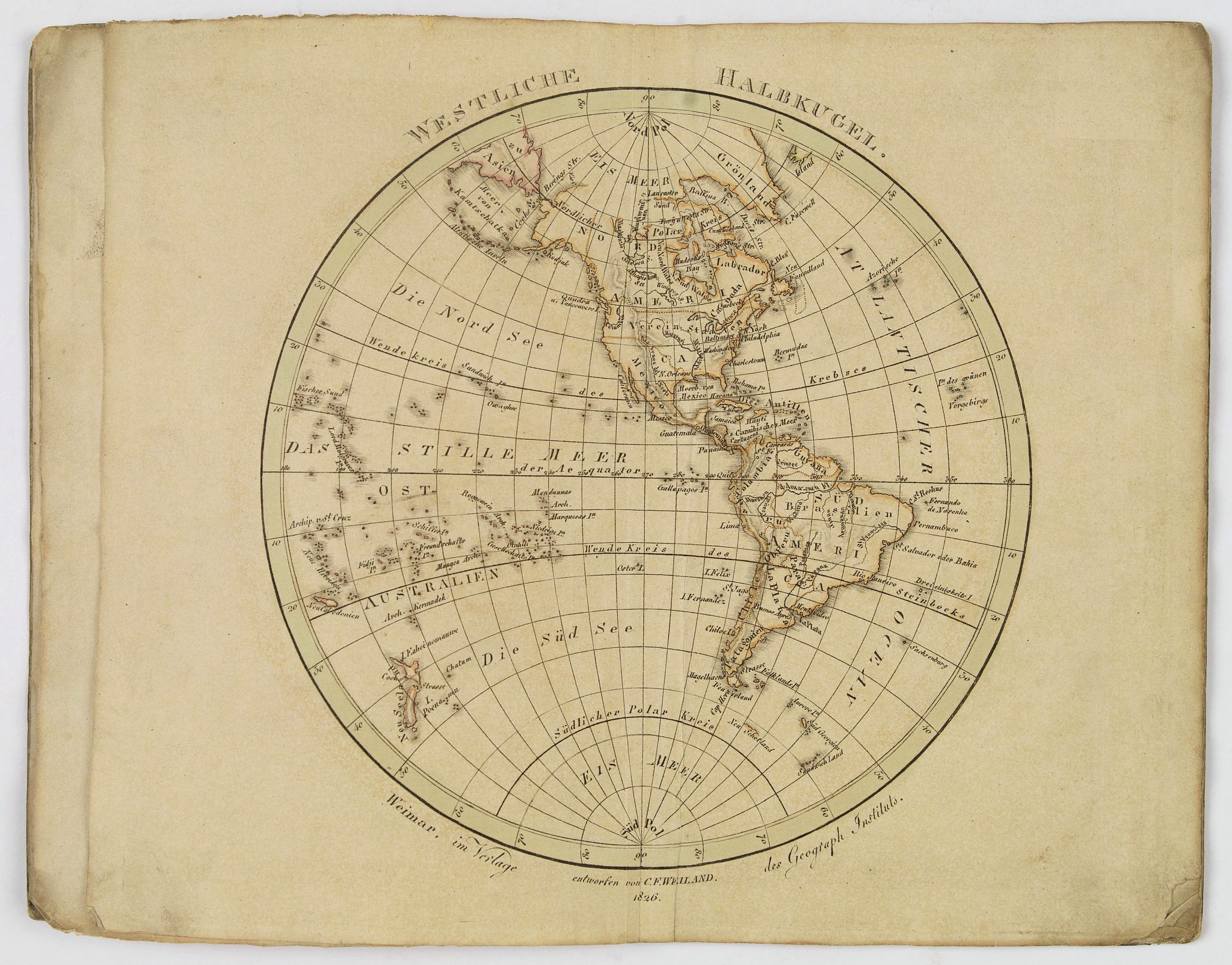
MapMaker: |
Carl Ferdinand Weiland
|
|
| |
| |
Subject: |
Atlases, World |
|
| |
Period/Size: |
c. 1826 / 7.3" x 8.0" (18.6 x 20.4 cm)
|
|
| |
Color: |
Colored
|
|
| |
Condition: |
In original o/l colours. Covers rubbed, stained and worn in places. Paper spine damaged but intact. Internally maps are in fair/good condition, some staining, toning and marks etc. (condition help) |
|
| |
Source: |
|
|
| |
References: |
|
|
| |
|
|
| Sales Information |
| |
| |
Price: |
|
|
| |
| |
Offered by: |
Paulus Swaen Old Maps & Prints |
|
| |
Catalog: |
March 19, 2019 - Internet Auction (9460) |
|
| |
Lot/Item #: |
43528 |
|
| |
| |
Date: |
03/2019
|
|
| |
| |
|